
Loading...
Up to 6% off
XAG | SKU:
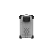
RTK-FIX-STATION
XAG® GNSS RTK Fix Station
$4,440.00
$4,720.00
Unit price
/
Unavailable
Tax included
1. Select Your Option
We offer a variety of solutions to fit your needs. Select your preferred package from the options below and click on the package to view the details.
XAG® GNSS RTK Fix Station
$4,440.00
$4,720.00
Unit price
/
Unavailable
Up to 6% off
Included in this package
-
 1 x XAG® GNSS RTK Fix Station Structure
-
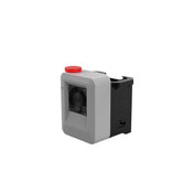
 1 x XAG® GNSS RTK Fix Station GNSS Module


2. Recommended Accessories
Explore these products that pair perfectly with your package. Add any of these recommended accessories to complete your setup.

XAG® P150 Max (4B4C Standard Package)
$45,000.00
$51,790.00
Unit price
/
Unavailable
Up to 13% off

XAG® P150 Basic Package
$35,000.00
$52,400.00
Unit price
/
Unavailable
Up to 33% off
Payment & Security
Payment methods
Your payment information is processed securely. We do not store credit card details nor have access to your credit card information.
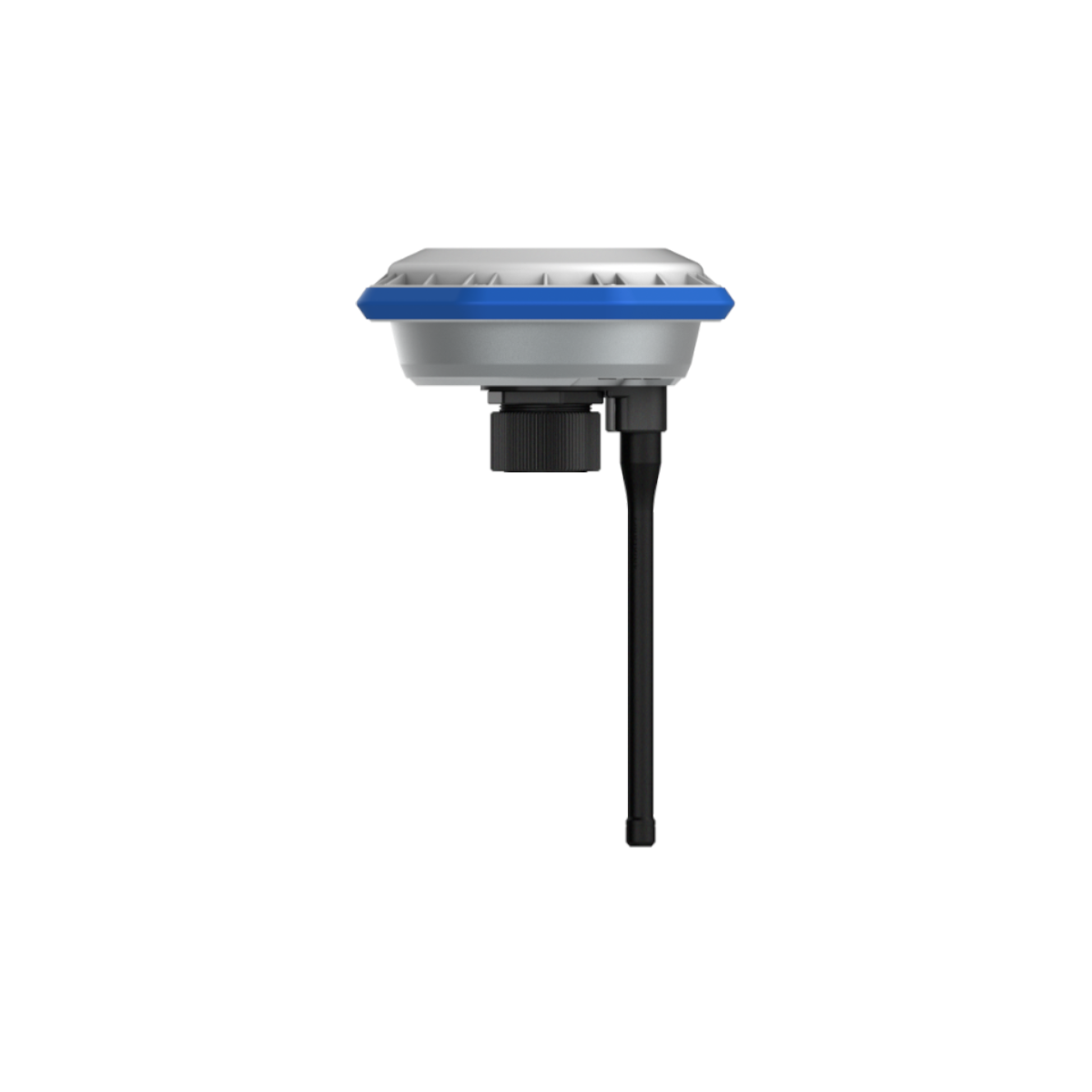
Specification
FULL SPECIFICATION >RTK Positioning Module for Agricultural Use
- ModelXRTK4
- Dimensions (Diameter x Height)154mm x 83.6mm (RTK Module)
154mm x 1230mm (RTK Module + Rod) - Weight1.5 Kg (RTK Module)
- Port/PanelButton x 3, Positioning Indicator x 1
Networking Indicator x 1
Power Indicator x 1 - IP RatingIP65
- Operating Temperature-20° - 50° C
- Storage Temperature-40° - 85° C
- Relative Humidity100%, condensation
- Warranty Details12 Months
GNSS Performance & Specifications
- Compatible MotherboardK726
- GNSS FrequencyBDS: B1I / B2I / B3I / B1C / B2a
GPS: L1 / L2 / L5
GLONASS: L1, L2, L2C
Galileo: E1 / E5a / E5b
QZSS: L1 / L2 / L5 - RTK Positioning AccuracyHorizontal: ±10mm+1ppm (RMS)
Vertical: ±15mm+1ppm (RMS) - Initialization TimeTypical <10 seconds
- Initialization Reliability>99.9%
- Data Update RateMaximum 20 Hz (Raw data)
Maximum 20 Hz (Positioning data)